Who We Are

Smart Orbit

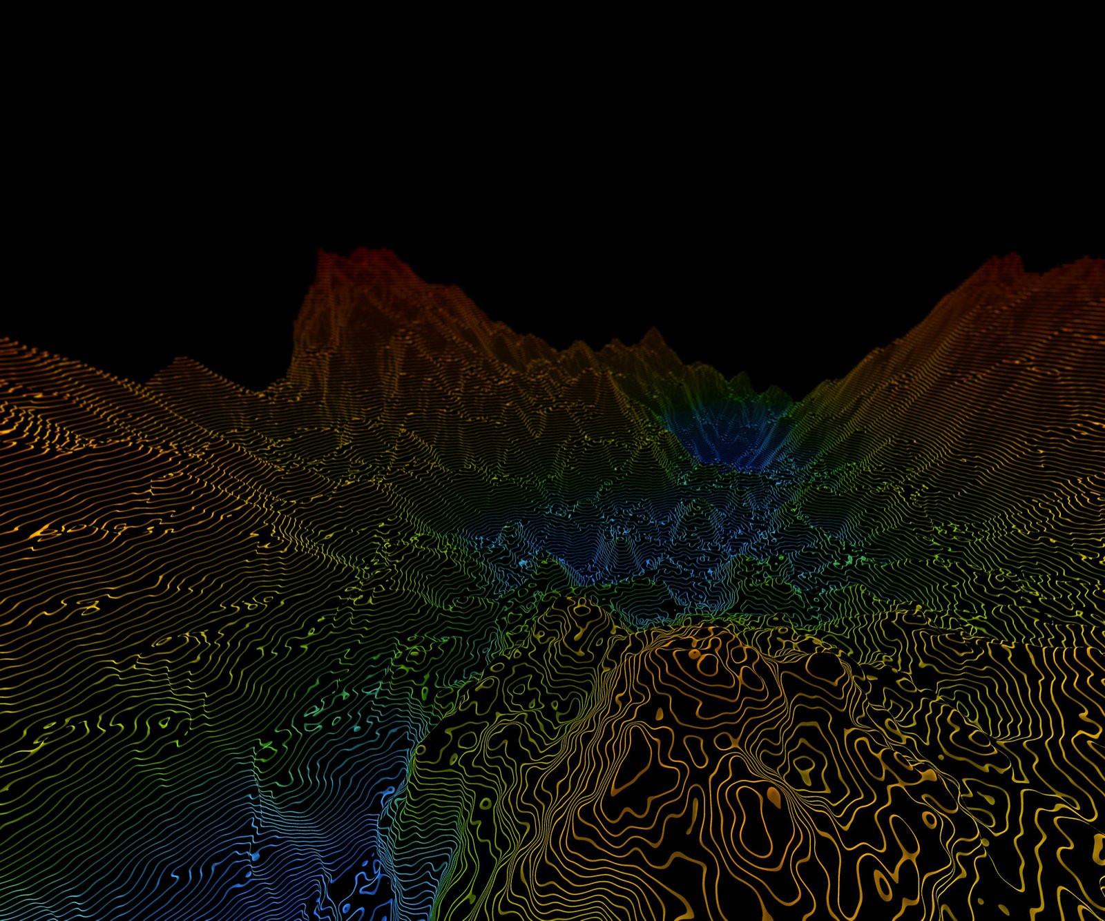
A leading Saudi company specialized in developing and delivering geospatial solutions, remote sensing technologies, and space-borne artificial intelligence. We innovate and design smart software engines and algorithms (locally developed) to transform satellite imagery and massive spatial big data into products.

About Us

We are moving at an accelerated pace toward leading innovation in the space technology and geospatial solutions sector across the region, by localizing the latest artificial intelligence and remote sensing technologies to build a secure and sustainable digital future for the Kingdom.

Our true value lies in transforming complex space data and satellite imagery into precise geographic services and solutions that empower military, environmental, and developmental sectors to make immediate and strategic decisions that support comprehensive development and protect national capabilities.

Services

Diversity & Integration of Data Sources

We do not settle for a single data source; instead, we integrate and process multiple intersections of space and geospatial data to grant you a comprehensive and deep vision that transcends traditional boundaries:

Services

01

High-Resolution Satellite Imagery

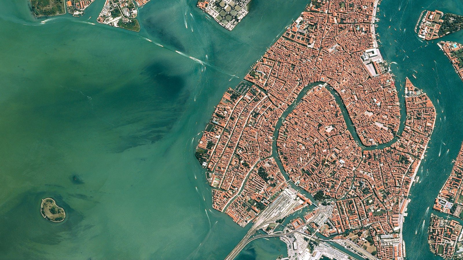
Relying on a constellation of commercial and scientific satellites to capture periodic updates and terrestrial changes with ultra-high precision reaching less than 50 cm.

02

Remote Sensing & Radar Data

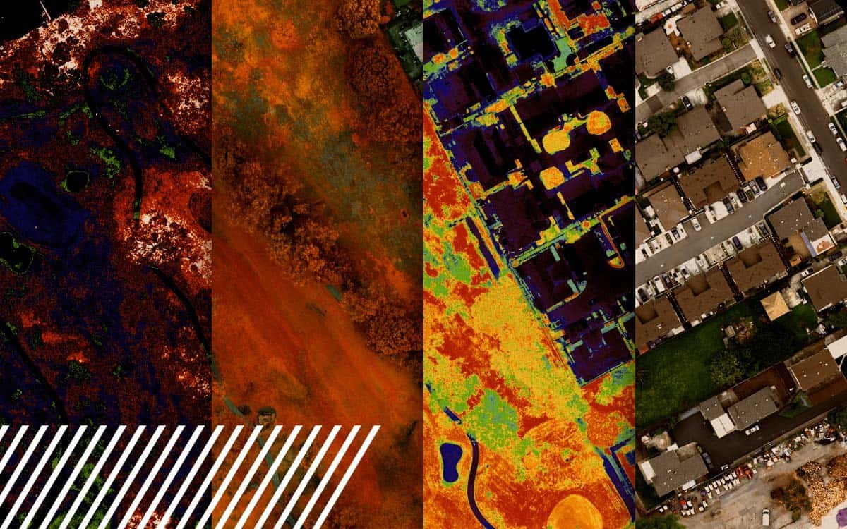
Utilizing radar imaging and multispectral sensors to monitor soil moisture, vegetation health, and geological composition.

03

Geospatial Data & Map Layers

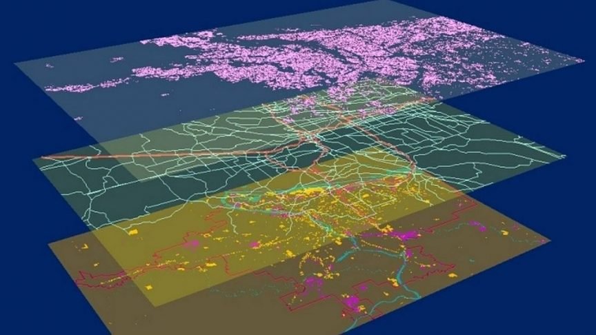
Integrating space-borne observations with digital blueprints, geographic boundaries, and local environmental data to forge a precise context for each analyzed zone.

Services

In-House Smart Algorithms

Artificial intelligence and machine learning engines have been entirely built and developed within Smart Orbit, custom-engineered to manage local environmental and geographical challenges and turn data into actionable decisions.

01

Computer Vision Algorithms

To detect changes, classify land cover, and extract features (such as buildings, roads, violations) automatically and at ultra-high speeds while filtering out visual noise.

02

Predictive Analytics & Spatial Modeling Algorithms

Predictive Analytics & Spatial Modeling Algorithms: To track urban growth, forecast environmental risks, and analyze hydrological impact based on historical and real-time data.

Solutions

Our Intelligent Solutions

At Smart Orbit, we innovate pioneering solutions based on combining space technologies, remote sensing, and space-borne artificial intelligence (Edge AI). Through our advanced platforms, we aim to transform complex space data and satellite images into strategic insights and precise interactive maps, enabling defense, security, environment, and smart city sectors to make instant and sustainable decisions.

Solutions

01

Geospatial Intelligence & Space Analytics (GEOINT)

Transforming satellite imagery and raw data into interactive maps and real-time intelligence reports that support decision-making in defense, security, and urban planning fields.

02

Data Processing & Space Artificial Intelligence (Edge AI)

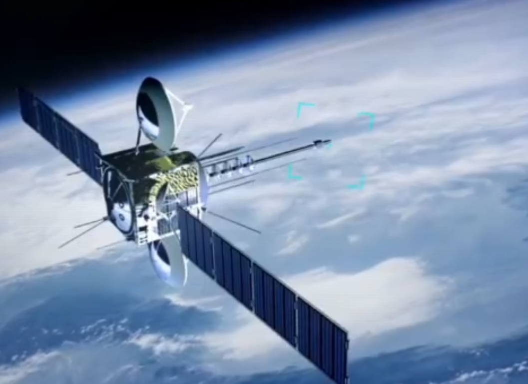
Developing artificial intelligence software and algorithms that operate directly on board satellites, allowing target detection and sending immediate alerts to ground stations without delay.

03

Radar & Persistent Monitoring (SAR Monitoring)

Providing around-the-clock surveillance and monitoring solutions under all weather conditions (through clouds, darkness, and storms) to secure borders and protect vital oil and strategic facilities.

04

Infrastructure & Urban Integrity Monitoring (InSAR Analysis)

Measuring structural changes and ground subsidence with millimeter-level precision for giga projects (such as NEOM and THE LINE), ensuring construction safety and predicting engineering risks before they occur.

05

Geological Exploration & Mineral Prospecting

Analyzing the Earth’s surface spectral signatures via satellite imaging (Hyperspectral) to identify and map natural resources and mineral deposits in the Arabian Shield with high accuracy and efficiency.

06

Environmental Solutions & Precision Agriculture

Providing periodic reports to monitor desertification and sand encroachment, and support the “Saudi Green Initiative,” alongside analyzing crop health and soil moisture to achieve food security and water sustainability.

Leading the Digital Future

Investing in Space Solutions & Geospatial AI

Investing in geospatial services and space technologies powered by artificial intelligence represents one of the most promising and strategic investment opportunities at present, particularly within the Kingdom of Saudi Arabia. This sector is no longer just supportive technical services.

Sectors

Strategic Sectors & Service Fields

Our geospatial and space solutions and products cover a wide range of vital sectors, where we harness artificial intelligence and remote sensing technologies to deliver precise monitoring and advanced analytics that support decision-making and ensure the sustainability and security of these sectors.

Sectors

01

Military & Defense

Providing advanced geospatial intelligence services, delivering real-time imagery and analytics to support tactical operations, and monitoring movements with high precision around the clock.

02

Border Security

Securing land and maritime borders via smart satellite-based surveillance systems that instantly and automatically detect infiltrations and unauthorized changes.

03

Smart Cities

Supporting sustainable urban planning, modeling population expansion, and delivering smart mobility solutions by integrating geospatial data into facility and service management.

04

Agriculture & Food Security

Assessing crop health, estimating agricultural production volume, and monitoring soil moisture and water levels to achieve optimal food resource management.

05

Mining & Natural Resources

Analyzing the Earth’s surface spectral signatures to map mineral deposits, monitor prospecting sites, and manage geological operations efficiently.

06

Combating Desertification & Environmental Monitoring

Tracking sand encroachment and land degradation, monitoring vegetation cover to support afforestation initiatives, and detecting environmental and marine pollution.

07

Critical Infrastructure Protection

Measuring the stability of massive structures, tunnels, and bridges with millimeter precision (via InSAR radar technologies) to ensure their safety and predict any soil subsidence before it occurs.

08

Earth Observation & Geospatial Intelligence

Transforming millions of satellite images and massive spatial big data into interactive maps and analytical insights that serve developmental and security goals with ultimate flexibility.